As part of my Summer, I had already planned to travel to Paris for a week on my own, and decided to use the opportunity (at least in part) to see first-hand how wayfinding works in an unfamiliar city.
While in the city, I read Inner Navigation by Erik Jonsson, a book detailing the formation of cognitive maps. While I found parts of the book to be atheoretical and repetitive on a few key themes, it offered important insights into how maps are formedin unfamiliar areas upon arrival, anchored by landmarks, as well as how over-reliance on urban landmarks and topographic maps can harm the formation of these maps. The book was written before the ubiquity of tools like Google Maps, but my own utter lack of direction is some testament to the viability of its theories.
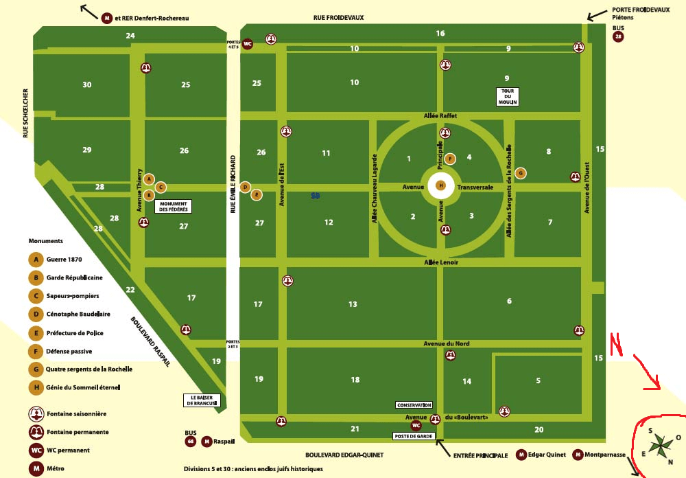
I began by embarking on a few derives in my local area, which was near the Montparnasse Cemetery. I would frequently get turned around in circles, and continuously found myself back at the cemetery. However, I was further confused when later examining maps of the area – all tourist maps are completely rotated away from north. This was good evidence for how my cognitive map of the area became increasingly affected by top-down representations of the same place.
I also looked to see how various museums handled navigation. The Louvre, on top of having signs to its most famous exhibits, hands out Nintendo 3DS consoles with audio guides and interactive maps loaded onto them. This is an interesting leveraging of existing technology, although in this case it seems to be more of a promotional tactic than the best technology available.


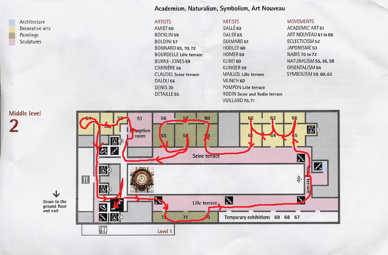
The Musée d’Orsay uses a more traditional paper map, which I found to be very necessary – despite the relatively simple layout of the museum, I would have gotten lost multiple times due to odd placement of doors and entryways.
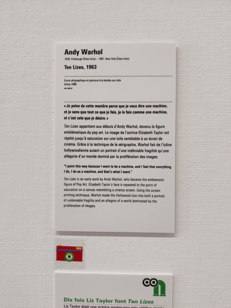
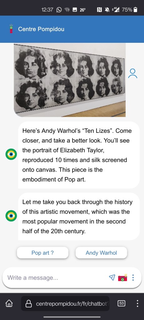
The Centre Pompidou, however, did not offer paper maps or traditional audio guides. The only way to listen to audio guides or discover more information was by scanning QR codes, or by taking photos with your device and sending them to a chatbot that would offer further detail. These points were signposted with a consistent visual language.
I can take the following from some of my first-hand research on the trip:
- When in a new place, landmarks are absolutely vital in forming oriented maps of your surroundings, and can define your interpretation of the place
- There is room to leverage existing technology in whatever we create, but it can seem crude and gimmicky if not carefully considered.
